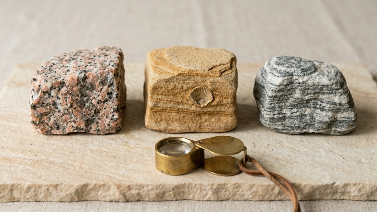
Rockhounding Near Me: How to Find Legal Spots Fast
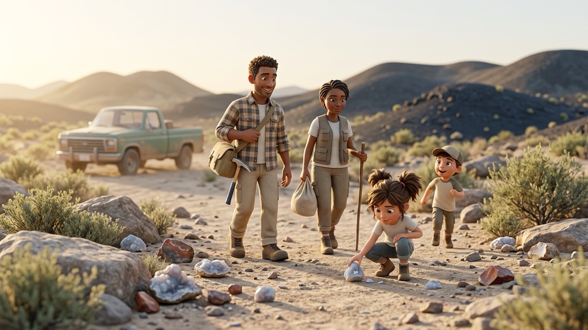
Search "rockhounding near me" and you get pins on a map, forum posts and a lot of confident advice. What you rarely get is the one thing that matters: proof that the spot is open to collecting today. Here is how to find real, legal places near you, and how to check them in the time it takes to pack the car.
Quick answer
Start with BLM's designated rockhound areas, your state geological survey's collecting guides and a local rock club's field trips. Fee-dig sites are easy and legal. Before any trip, confirm who manages the exact spot, read that agency's rules, and check for mining claims. National parks are off-limits, and private land needs permission.
Key takeaways
- A pin on a map is not permission. Always confirm the land manager and its current rules.
- BLM lists designated rockhound areas in Arizona, California, Nevada, Oregon and Utah, each with its own page and managing office.
- State geological surveys and rock clubs are the best local guides, and clubs can often reach sites you cannot.
- Fee-dig sites trade an admission fee for clear rules and permission to keep what you find.
- Check land ownership and mining claims before you go, not after you have filled a bag.
Where are the easiest legal places to start?
If you live in the West, start with the Bureau of Land Management (BLM), the federal agency that manages public lands. Its rockhounding page lists designated collecting areas, and each has its own page with directions and a managing office. What the table says each site is known for comes from those BLM pages.
| Site | State | Known for (per BLM) | Managed by |
|---|---|---|---|
| Black Hills Rockhound Area | Arizona | Fire agate; open for digging without fees or permits | BLM Safford Field Office |
| Round Mountain Rockhound Area | Arizona | A popular rockhounding area near Duncan | BLM Safford Field Office |
| Wiley Well District Geode Beds | California | Geode beds in desert hills and washes | BLM El Centro Field Office |
| Chambless Rock Collecting Area | California | Hematite, magnetite, epidote and small garnets | BLM Needles Field Office |
| Savahia Peak Rock Collecting Area | California | White chalcedony in a large wash | BLM Needles Field Office |
| Garnet Hill | Nevada | Garnets in volcanic rock | BLM Ely District |
| Sunstone Collection Area | Oregon | Sunstones, which are feldspar crystals | BLM Lakeview District |
| Dugway Geode Beds | Utah | Geodes lined with quartz | BLM Fillmore Field Office |
| Topaz Mountain Rockhound Recreation Area | Utah | Topaz and other crystals | BLM Fillmore Field Office |
Heads up
Read each site's own page before you go, because the details matter. Chambless sits on the edge of a wilderness area, and its iron deposits lie near old mining shafts, which you must never enter. The Sunstone area has private mining claims around it and inside it. Garnet Hill has no water.
State guides such as rockhounding in Arizona, rockhounding in Utah and rockhounding in Oregon go site by site. Some regions have a signature find with its own guide, such as yooperlites on Lake Superior beaches in Michigan's Upper Peninsula and thunder eggs in central Oregon and New Mexico.
Beyond these listed areas, most other BLM land is also generally open to collecting reasonable amounts for personal use, and many national forests allow hobby collecting too, sometimes with a free permit from the ranger district. Our guide to rock collecting rules covers the limits.
How do you check who owns the land?
This is the step that keeps a good day from turning into a trespassing ticket. Work through it at home, then again on site.
- Look up federal land. BLM's National Data map viewer shows BLM land. For a national picture, the USGS Protected Areas Database (PAD-US), the official national inventory of protected areas, includes all federal and most state and local public land. USGS itself advises going to an agency's own data for questions about that one agency, so use PAD-US to get oriented, then confirm on the managing agency's map.
- Look up private land. The Utah Geological Survey points collectors to county and state land-ownership maps online. Many counties publish parcel maps online; if you cannot find the owner, treat the land as private.
- Check for mining claims. BLM advises checking for claims before visiting, because claimants may have the right to exclude others. BLM's Mineral and Land Records System (MLRS) holds claim records.
- Read the site's own page and call if unsure. BLM tells collectors to contact the local office about restrictions, and the Forest Service points to the local ranger district.
- Watch for state land traps. BLM's Arizona brochure warns that Arizona State Trust Land is not public land and that rockhounding is not allowed there, even though it can look just like the BLM land next door.
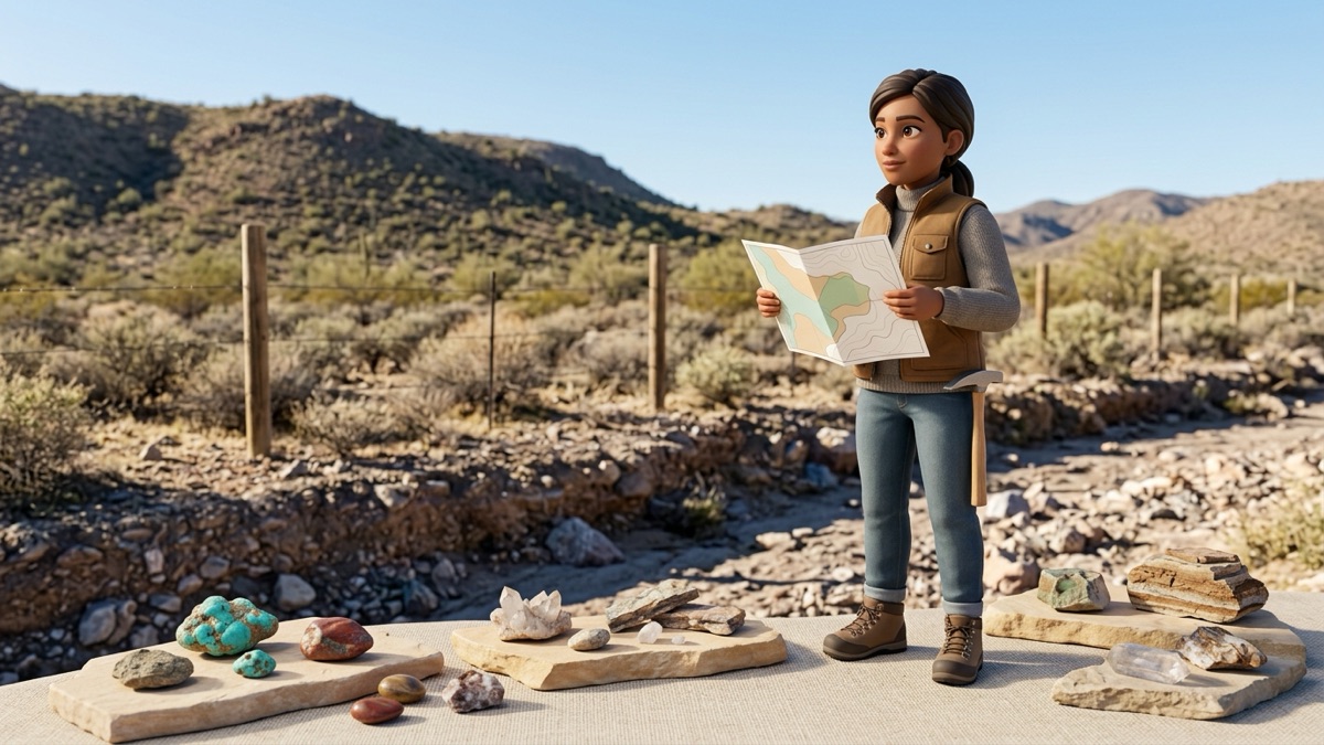
Do state geological surveys have rockhounding guides?
Many do, and they are among the most trustworthy local sources. The Association of American State Geologists keeps a directory of state geological surveys with contact details, which makes finding yours easy.
The Utah Geological Survey is a good model: it publishes collecting sites with interactive maps, collecting rules and a list of rock clubs. It also says clearly that a site description does not give you permission to collect, and that it is your job to confirm the land status. The Iowa Geological Survey's geode page is another example: it explains where Iowa's famous geodes are found, notes that most collecting localities are on private land, and points to the Keokuk Area Convention and Tourism Bureau for a list of property owners who may allow collecting.
Can a rock club get you into better spots?
Often, yes. The American Federation of Mineralogical Societies (AFMS) says rock clubs run field trips to collect rocks, minerals and fossils, and that clubs affiliated with it can get liability insurance through their regional federation, which lets members visit field trip locations that would otherwise be inaccessible. Its website has a club map organized by regional federation, and each federation lists clubs by state.
A club trip is also the fastest way to learn what the good material looks like in the ground. You will come home knowing the site, the rules and the people who know both.
What about fee-dig mines and parks?
Fee digs are places where you pay to search and keep what you find, under the site's own rules. Most are private businesses, so check each one's own website for hours, fees and what you may take.
Crater of Diamonds State Park in Arkansas, run by Arkansas State Parks, is one well-known example. The park says it is the only place in the world where the public can search for diamonds in their original volcanic source, in a plowed search field of about 37 acres, and that any rock or mineral you find is yours to keep. As of September 2026, the park lists diamond search area admission at $15 for visitors over 12, $7 for ages 6 to 12, and free for children under 6. Ladders and battery-operated or motor-driven mining tools are not allowed, and rental tools are available on site.
Tip
Call a fee-dig site before a long drive. Hours, seasons and rules can change with weather and staffing, and the website is not always updated the same day.
Can you hunt rocks on beaches, rivers and gravel bars?
Moving water is a natural rock sorter. The Minnesota DNR says people look for Lake Superior agates on riverbanks, at river mouths, in gravel pits and anywhere pebbles and gravel pile up. The same habit works for many hard stones: they wash out of the rock that held them and collect in gravel.
The rules still follow the land manager:
- Beaches inside National Park Service units fall under 36 CFR 2.1, which bans removing rocks and minerals.
- State park beaches follow state rules. In California, for example, state park regulations forbid removing rocks and minerals except where rockhounding is specifically permitted.
- Gravel pits are usually private or active workings, so you need the owner's permission, and working pits have their own safety hazards.
- River gravel bars can be public or private depending on the river and the state, so check before you collect.
Where should you never go rockhounding?
- National parks, and any other area the National Park Service manages.
- State parks, unless the state explicitly allows it; many do not.
- Tribal land without the tribe's permission.
- Private land without the owner's permission.
- Active mining claims without the claimant's permission.
- Inside old mines or shafts, ever. They are deadly, whoever owns them.
Try it
Found something on a legal trip and cannot name it? Answer a few questions in the free rock identifier for likely candidates and the test that tells them apart.
The RockhoundID app, coming soon, will suggest likely matches from a photo and tell you which test confirms them. Our rockhounding for beginners hub covers what to bring and how to stay safe.
The takeaway
The best rockhounding spot near you is one you have checked. Start with BLM rockhound areas, your state survey's guides, a club field trip or a fee dig. Then confirm the land manager, read its rules, look for mining claims and get permission for anything private. It takes a few minutes at home, and it makes every find one you can keep with a clear conscience.
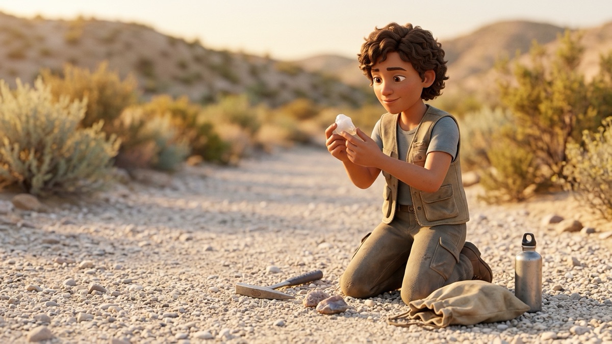
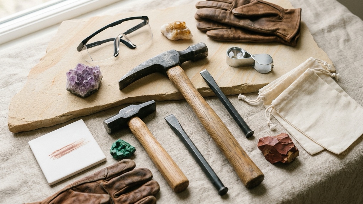
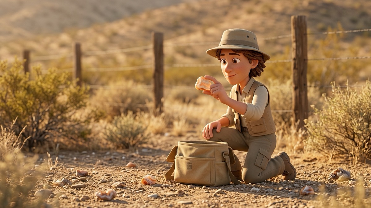
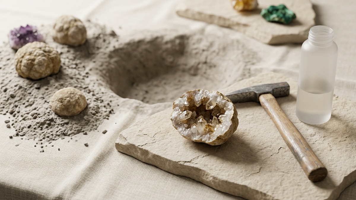
The pictures in this guide are AI-generated illustrations of what to look for; real specimens vary, so trust the tests over any picture. RockhoundID guides help you narrow down what you found. They suggest likely candidates, not certain identifications or appraisals. For anything valuable, rare or possibly from space, ask a museum, a university geology department or your state geological survey, and check the collecting rules for the land before you take anything home.
Questions rockhounds ask
How do I find rockhounding spots near me?
Start with the BLM's list of designated rockhound areas if you live in the West, your state geological survey's collecting guides, and a local rock club's field trips. Then confirm who manages the exact spot and what that agency allows before you go.
Is there a map of legal rockhounding sites?
There is no single national map of legal sites. BLM's National Data map viewer shows federal land, the USGS PAD-US database maps public land nationwide, and some state surveys, such as Utah's, publish collecting site maps. A site on a map is still not permission to collect.
Can I collect rocks on the beach?
It depends on who manages that beach. Beaches inside National Park Service units fall under park rules, which ban collecting, and state beaches follow state rules, which are often strict. Check the managing agency's page for that exact beach.
What is a fee-dig site?
A place, usually a private business or a special park, where you pay to search and keep what you find under the site's own rules. Crater of Diamonds State Park in Arkansas is one example run by a state park agency.
How do I know if land is private?
Check your county's online parcel map or assessor records, and look at BLM or Forest Service maps for federal land. If you cannot confirm the owner, treat the land as private and do not collect there.
Where these facts come from
- BLM: Rockhounding on public lands (checked September 30, 2026): www.blm.gov/programs/recreation/rockhounding
- BLM: Black Hills Rockhound Area, Arizona: www.blm.gov/visit/black-hills-rockhound-area
- BLM: Round Mountain Rockhound Area, Arizona: www.blm.gov/visit/round-mountain-rockhound-area
- BLM: Wiley Well District Geode Beds, California: www.blm.gov/visit/wiley-well-district-geode-beds
- BLM: Chambless Rock Collecting Area, California: www.blm.gov/visit/chambless-rock-collecting-area
- BLM: Savahia Peak Rock Collecting Area, California: www.blm.gov/visit/savahia-peak-rock-collecting-area
- BLM: Garnet Hill, Nevada: www.blm.gov/visit/garnet-hill
- BLM: Sunstone Collection Area, Oregon: www.blm.gov/visit/sunstone-collection-area
- BLM: Dugway Geode Beds, Utah: www.blm.gov/visit/dugway-geode-beds
- BLM: Topaz Mountain Rockhound Recreation Area, Utah: www.blm.gov/visit/topaz-mountain-rockhound-recreation-area
- BLM: Maps (National Data map viewer): www.blm.gov/maps
- USGS: PAD-US data overview: www.usgs.gov/programs/gap-analysis-project/science/pad-us-data-overview
- BLM: Mineral and Land Records System (MLRS): www.blm.gov/services/land-records/mlrs
- BLM Arizona: Rock Hounding in Arizona brochure: www.blm.gov/sites/default/files/documents/files/2014%20Rockhounding_14_web_2018.
- Association of American State Geologists: State geological surveys: www.stategeologists.org/surveys
- Utah Geological Survey: Rock and mineral collecting sites: geology.utah.gov/popular/rocks-minerals/rock-mineral-collecting-sites/
- Utah Geological Survey: Rock, mineral and fossil collecting rules: geology.utah.gov/popular/rocks-minerals/collecting-rules/
- Iowa Geological Survey: Iowa geodes: iowageologicalsurvey.uiowa.edu/iowa-geology/popular-interest/iowa-geodes
- American Federation of Mineralogical Societies: www.amfed.org/
- Arkansas State Parks: Crater of Diamonds State Park (checked September 30, 2026): www.arkansasstateparks.com/parks/crater-diamonds-state-park
- Minnesota DNR: Lake Superior agate: www.dnr.state.mn.us/snapshots/rocks_minerals/lakesuperioragate.html
- California Code of Regulations, Title 14, section 4307 (state parks): www.law.cornell.edu/regulations/california/14-CCR-4307
- eCFR: 36 CFR 2.1, preservation of natural resources (National Park Service): www.ecfr.gov/current/title-36/chapter-I/part-2/section-2.1
- USDA Forest Service: Rockhounding Guide, FS-1091 (June 2017): www.fs.usda.gov/media/229394
Read next
rockhounding
Where to Find Geodes: The Best Places in the US